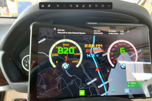
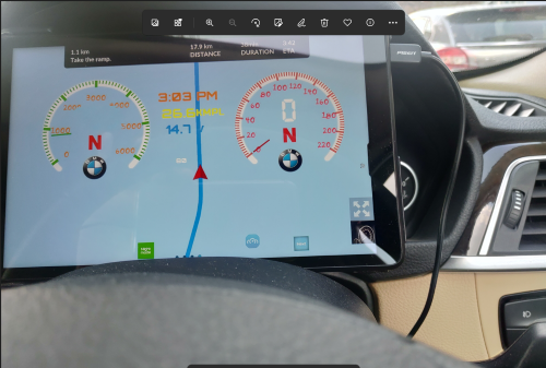
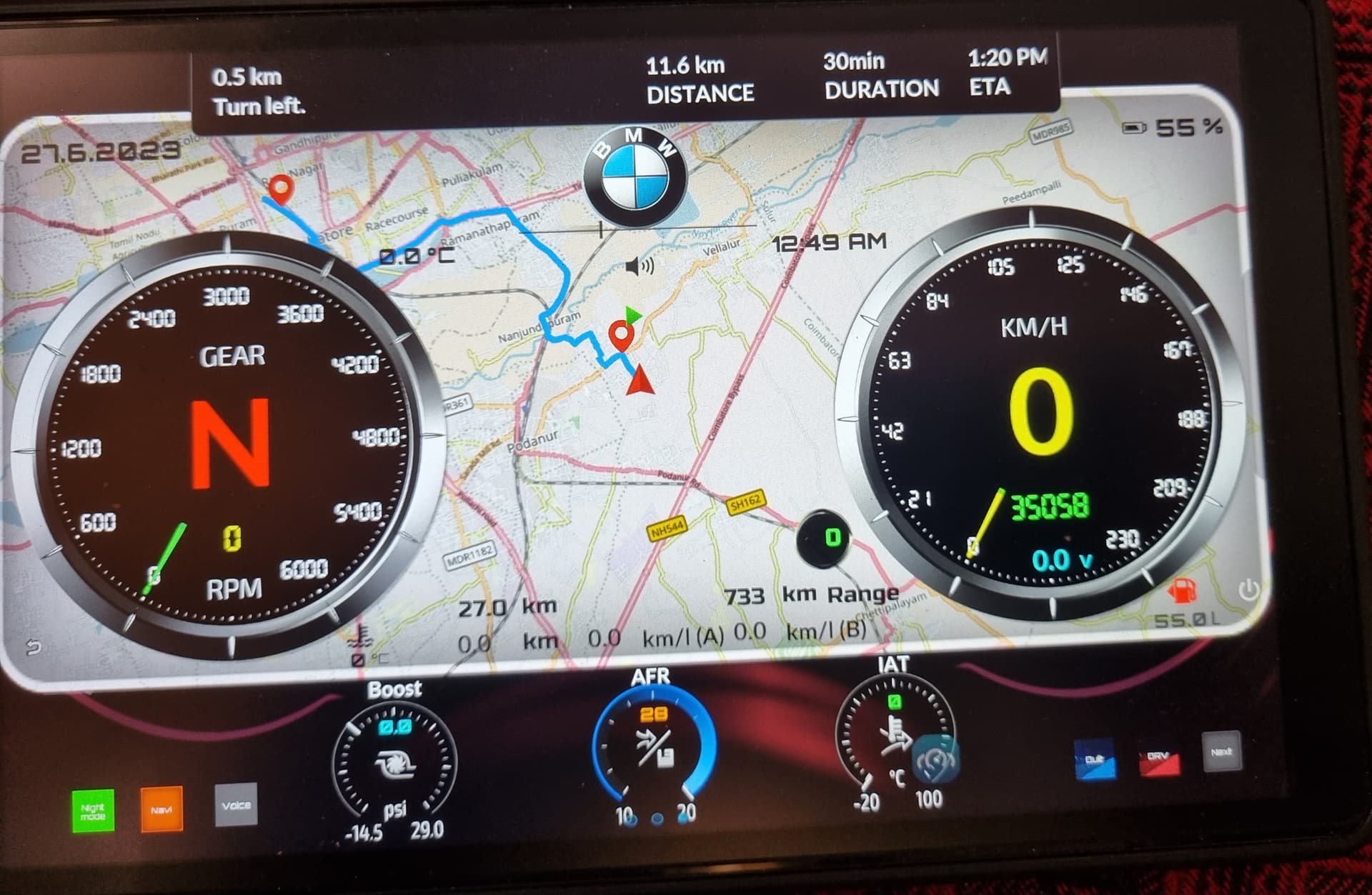
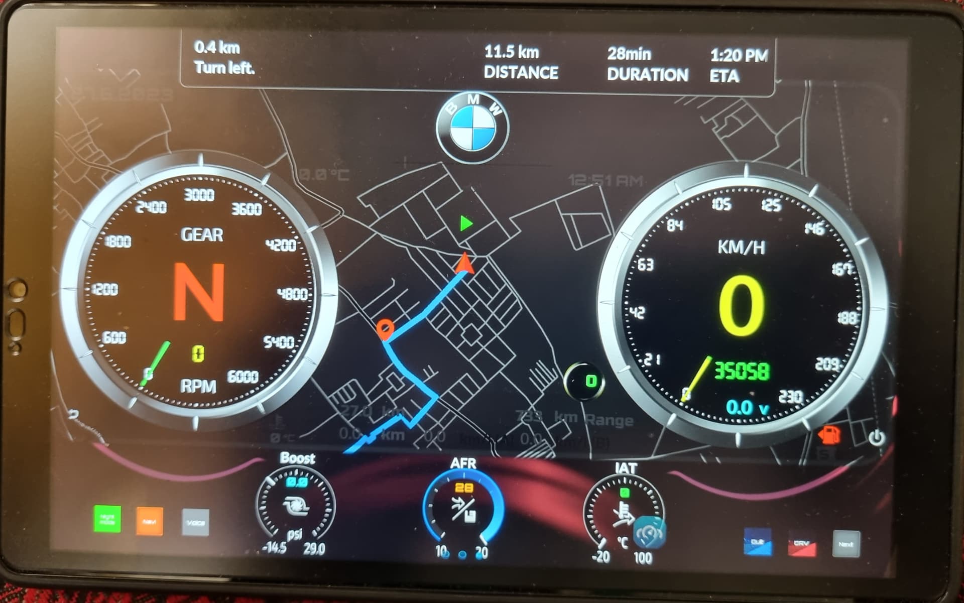
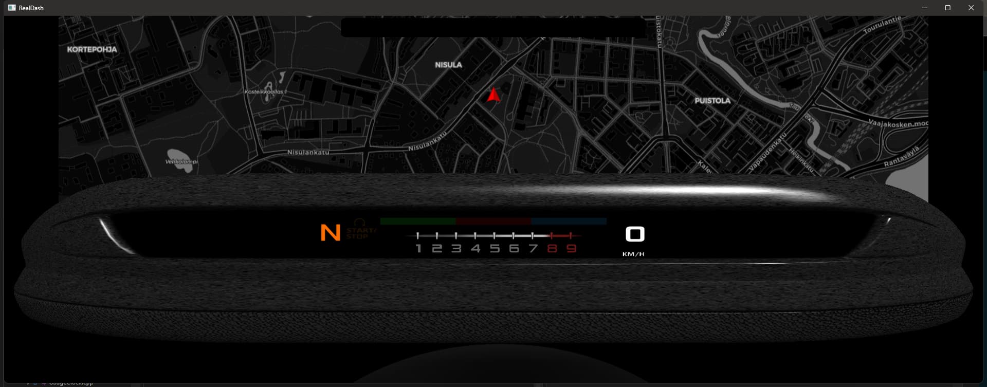
Pls see attached pictures. When I cross city limit of around 15-20 km, the Map is not showing the roads. It is just a light blue screen with the route map (see light blue map). So, I changed the Look & Feel —> Special —> Map to Dark Tiles (see dark map). Now it is showing the road names beyond city limits but text is not bright now (text is light grey). Can the map text be made bright white?
Anyway, how to make the map show the road names beyond 15-20 kms even when Automatic Dark Tiles are chosen i.e. with light background?
Also, in data source for map should I show GPS Heading or GPS Enabled? What is the difference?
Light blue on map is ‘default tile’. It means map at that zoom level is not available at current location, or you have lost Internet connection. Zoom the map out a bit to check.
Map gauge works without any specific input set into it. It is possible to change map gauge indicator and blend colors etc. based on assigned input, as with any other gauge.
GPS Enabled input value 0 or 1 to indicate that GPS is currently active.
GPS Heading is current movement heading in degrees (0-360)
The thing is at the same location if I choose Dark tiles it is turning blue and if I choose Automatic Dark Tiles it is turning black and showing the road names…so it is not a network issue or zoom issue. Can you check if there is a bug?
I will check. Automatic dark tiles setting switches to dark tiles if ‘Device Inputs->Night Mode’ input is active. So it could be that there are no normal tiles on that area/zoom level, but dark tiles are available.
Jani, I think the issue was because I had chosen Satellite view by mistake. Road view solved the dark tile issue. However, can you clarify whether automatic zoom will automatically also zoom in zoom out to adjust for the blue tile screen so that I don’t have to it?
Hi Jani, when night mode is active the street/road names are not visible in white colour i.e. the same names which appear in black colour when night mode is off don’t show up in white colour. Any way to correct this?
Unfortunately the street names come from ‘burnt in’ into the map tiles from our map tile provider. Currently there is no easy (or cheap) way to change that.
Hi Jani, when navigation is on, is it possible to show an arrow at the top left (in say yellow colour) showing the next turn that has to be taken? Currently, for example it say in 0.2 km take left. Can we show a bold left arrow in its place? It will look visually very appealing. Hope it’s not a big ask.
Can you enable changing the text colour for the navigation text that appears on top of the screen?
Just one issue, Jani. In India we have right side driving like UK. The signs for U Turn and Taking an exit in a round about, need to be a mirror image. U arrow is showing on the left side. Anyway to change this?